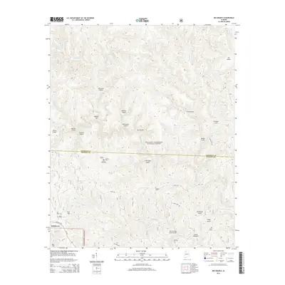
2014 Map of Bee Branch
USGS Topo · Published 2014About this map
William B. Bankhead National Forest covers the majority of this landscape, characterized by a complex network of deep canyons and watercourses at the junction of Lawrence and Winston counties. The terrain is marked by dramatic geological features such as Needles Eye, Big Tree Canyon, and Little Ugly Canyon, which drain toward the Sipsey Fork. The map provides significant genealogical value through its labeling of remote burial sites, including the Johnson Cemeteries and the Wolfpen Cem, tucked away among the hollows.
Find a feature on this map
61 named features on this map. Tap any name to fly to it.
Don’t see what you’re looking for? This feature index may not catch every label — zoom into the map to look around manually.
Map Details
Editions of this 2014 Bee Branch Map
This is the sole edition of this map. No revisions or reprints were ever made.
Other maps of this area

1935 · Moulton
USGS Topo · 1:24,000

1936 · Newburg
USGS Topo · 1:24,000

1936 · Delmar
USGS Topo · 1:24,000

1936 · Kinlock Spring
USGS Topo · 1:24,000

1936 · Moulton
USGS Topo · 1:48,000

1936 · Landersville
USGS Topo · 1:24,000

1940 · Mt Hope
USGS Topo · 1:62,500
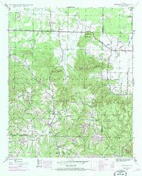
1945 · Newburg
USGS Topo · 1:24,000
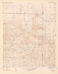
1947 · Newburg
USGS Topo · 1:24,000

1947 · Kinlock Spring
USGS Topo · 1:24,000