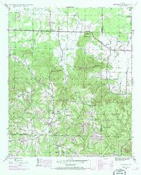
1945 Map of Newburg
USGS Topo · Published 1970About this map
Newburg and the surrounding woodlands of the William B Bankhead National Forest define this landscape on the Franklin and Lawrence county line. The map reveals a mid-century rural network centered around the Russellville Road and Moulton Road, where local life was anchored by numerous country churches such as Macedonia Ch, Sylvester Ch, and New Hope Ch. The topography is shaped by significant heights like Macedonia Mtn and Eckerberger Mtn, with a dense system of hollows and branches feeding into Bear Creek.
Find a feature on this map
45 named features on this map. Tap any name to fly to it.
Don’t see what you’re looking for? This feature index may not catch every label — zoom into the map to look around manually.
Map Details
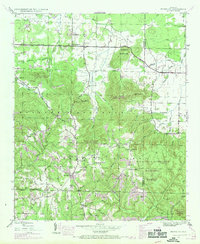
Editions of this 1945 Newburg Map
2 editions found
Other maps of this area

1924 · Tuscumbia
USGS Topo · 1:48,000

1926 · Tuscumbia
USGS Topo · 1:62,500

1936 · Russellville
USGS Topo · 1:24,000

1936 · Newburg
USGS Topo · 1:24,000

1936 · Kinlock Spring
USGS Topo · 1:24,000

1936 · Phil Campbell
USGS Topo · 1:24,000

1936 · Moulton
USGS Topo · 1:48,000

1936 · Spruce Pine
USGS Topo · 1:24,000

1936 · Hatton
USGS Topo · 1:24,000

1936 · Landersville
USGS Topo · 1:24,000