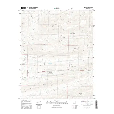
2014 Map of Bee Mountain
USGS Topo · Published 2014About this map
Cardiff sits at the heart of this Scott County landscape, a community positioned where the drainage of the E Fork Poteau River meets the northern slopes of Waldron Ridge. This 2014 survey documents a rugged portion of the Ouachita National Forest, defined by a series of prominent east-west ridges including White Oak Mtn, Bee Mountain, and Dutch Creek Mtn. The hydrology of the region is complex, with the Petit Jean River flowing through the northern reaches while the Poteau River and its various forks dominate the central valley. Genealogy researchers will find significant landmarks such as Mt Pleasant Cem near the western boundary and Friendship Cem tucked along the banks of Dutch Cr, offering specific points of interest for tracing family roots in this rural Arkansas terrain.
Find a feature on this map
46 named features on this map. Tap any name to fly to it.
Don’t see what you’re looking for? This feature index may not catch every label — zoom into the map to look around manually.
Map Details
Editions of this 2014 Bee Mountain Map
This is the sole edition of this map. No revisions or reprints were ever made.
Other maps of this area

1879 · Poteau Mountain
USGS Topo · 1:62,500

1887 · Poteau Mountain #1
USGS Topo · 1:62,500

1887 · Mount Ida #2
USGS Topo · 1:62,500

1887 · Magazine Mountain #3
USGS Topo · 1:62,500

1887 · Magazine Mountain
USGS Topo · 1:62,500

1890 · Magazine Mountain
USGS Topo · 1:125,000

1890 · Mount Ida
USGS Topo · 1:125,000

1890 · Fort Smith
USGS Topo · 1:125,000

1890 · Poteau Mountain
USGS Topo · 1:125,000

1899 · Poteau Mountain
USGS Topo · 1:125,000