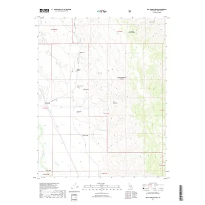
2018 Map of Bee Springs Canyon
USGS Topo · Published 2018About this map
The White-Inyo Range dominates this landscape, where steep ravines descend toward the Owens Valley floor. Near the small community of Kearsarge, the terrain transitions from rugged mountain slopes to the managed water systems of the valley below. Notable hydraulic infrastructure, such as the McIver Canal and Eclipse Ditch, lines the path of the Owens River, indicating the intensive water management history of this arid region. High within the Inyo National Forest, the Winnedumah Paiute Monument stands as a prominent landmark overlooking the complex drainage systems of Mazourka Canyon and Bee Springs Canyon. The network of seasonal water sources, including Willow Springs and Coyote Spring, provides critical points of interest for those studying the early survival and movement through these canyons via routes like Mazourka Canyon Rd.
Find a feature on this map
28 named features on this map. Tap any name to fly to it.
Don’t see what you’re looking for? This feature index may not catch every label — zoom into the map to look around manually.
Map Details
Editions of this 2018 Bee Springs Canyon Map
This is the sole edition of this map. No revisions or reprints were ever made.
Other maps of this area

1907 · Mt. Whitney
USGS Topo · 1:125,000

1908 · Ballarat
USGS Topo · 1:250,000

1913 · Ballarat
USGS Topo · 1:250,000

1919 · Mt. Whitney
USGS Topo · 1:125,000

1937 · Mt. Whitney
USGS Topo · 1:125,000

1948 · Death Valley
USGS Topo · 1:250,000

1948 · Fresno
USGS Topo · 1:250,000

1950 · New York Butte
USGS Topo · 1:62,500

1951 · New York Butte
USGS Topo · 1:62,500

1951 · Waucoba Wash
USGS Topo · 1:62,500