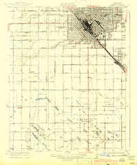
1948 Map of Fresno
USGS Topo · Published 1948About this map
Fresno serves as the focal point for this post-war landscape where the San Joaquin Valley meets the high peaks of the Sierra Nevada. The map highlights a complex network of agricultural irrigation and industrial growth, featuring the extensive Gould Canal and the Defense Plant Corporation site. Transportation is anchored by the dual presence of the Southern Pacific and Atchison Topeka and Santa Fe railroads, which linked small valley settlements like Navelencia, Calwa City, and Parlier to the broader regional economy.
Find a feature on this map
221 named features on this map. Tap any name to fly to it.
Don’t see what you’re looking for? This feature index may not catch every label — zoom into the map to look around manually.
Map Details
Editions of this 1948 Fresno Map
This is the sole edition of this map. No revisions or reprints were ever made.
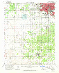
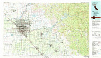
Historical Maps of Fresno Through Time
10 maps found