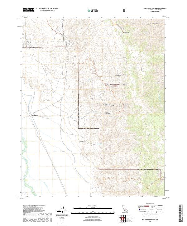
2021 Map of Bee Springs Canyon
USGS Topo · Published 2021About this map
Inyo National Forest and the White-Inyo Range dominate this 2021 landscape, where the sharp verticality of the Inyo Mountains meets the desert floor of Owens Valley. Water management is central to the valley's character, evidenced by the Owens River flowing alongside the Moiner Canal and Eclipse Ditch. High in the arid canyons, reliable water points like Bee Springs, Willow Springs, and Coyote Spring remain critical landmarks. The map also features the historic Winnedumah Paiute Monument near Paiute Canyon. Remote access is defined by specialized routes such as the Betty Jumbo Mine Trl and Pat Keyes Spring Trl, which lead into rugged terrain like Bee Springs Canyon and Vaughn Gulch, tracing the routes of miners and indigenous people alike near the small settlement of Kearsarge.
Find a feature on this map
33 named features on this map. Tap any name to fly to it.
Don’t see what you’re looking for? This feature index may not catch every label — zoom into the map to look around manually.
Map Details
Editions of this 2021 Bee Springs Canyon Map
This is the sole edition of this map. No revisions or reprints were ever made.
Other maps of this area

1907 · Mt. Whitney
USGS Topo · 1:125,000

1908 · Ballarat
USGS Topo · 1:250,000

1913 · Ballarat
USGS Topo · 1:250,000

1919 · Mt. Whitney
USGS Topo · 1:125,000

1937 · Mt. Whitney
USGS Topo · 1:125,000

1948 · Death Valley
USGS Topo · 1:250,000

1948 · Fresno
USGS Topo · 1:250,000

1950 · New York Butte
USGS Topo · 1:62,500

1951 · New York Butte
USGS Topo · 1:62,500

1951 · Waucoba Wash
USGS Topo · 1:62,500