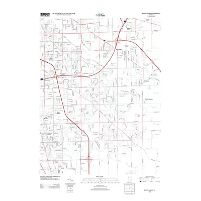
2013 Map of Beech Grove
USGS Topo · Published 2013About this map
Wanamaker and Sunnyview anchor this detailed 2013 snapshot of the suburban landscape southeast of Indianapolis. The area is defined by a dense network of watercourses, including Lick Cr, Big Run, and Harting Ditch, which drain the residential developments and golf courses such as Sarah Shank Golf Course and Smock Golf Course. Transportation infrastructure is a central theme, with the massive junction of I-465 and I-74 dominating the northern sector near the Marion County Fairgrounds.
Find a feature on this map
74 named features on this map. Tap any name to fly to it.
Don’t see what you’re looking for? This feature index may not catch every label — zoom into the map to look around manually.
Map Details
Editions of this 2013 Beech Grove Map
This is the sole edition of this map. No revisions or reprints were ever made.
Other maps of this area
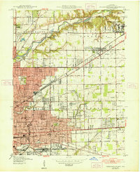
1948 · Indianapolis East
USGS Topo · 1:24,000
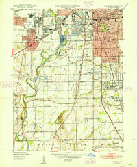
1948 · Maywood
USGS Topo · 1:24,000
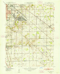
1948 · Beech Grove
USGS Topo · 1:24,000
1948 · Indianapolis West
USGS Topo · 1:24,000
1952 · Cumberland
USGS Topo · 1:24,000
1952 · Bargersville
USGS Topo · 1:24,000
1953 · Greenwood
USGS Topo · 1:24,000
1953 · Acton
USGS Topo · 1:24,000
1953 · Boggstown
USGS Topo · 1:24,000

1953 · Cincinnati
USGS Topo · 1:250,000
Featured Places
- Indianapolis, IN
- Greenwood, IN
- Beech Grove, Indianapolis
- Homecroft, Indianapolis
- Galader Station, Indianapolis