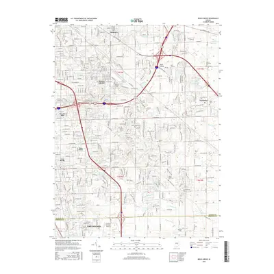
2016 Map of Beech Grove
USGS Topo · Published 2016About this map
Beech Grove and the northern reaches of Greenwood dominate this 2016 snapshot of the suburban landscape southeast of Indianapolis. The terrain is a complex network of residential developments and historic burial grounds, with several family and community plots including the Kemper Family Cem, New Crown Cem, and the Deutsch Evangelical Cem. These sites provide significant genealogical markers amidst the modern sprawl and the busy corridors of I-465 and I-65.
Find a feature on this map
66 named features on this map. Tap any name to fly to it.
Don’t see what you’re looking for? This feature index may not catch every label — zoom into the map to look around manually.
Map Details
Editions of this 2016 Beech Grove Map
This is the sole edition of this map. No revisions or reprints were ever made.
Other maps of this area

1948 · Indianapolis East
USGS Topo · 1:24,000

1948 · Maywood
USGS Topo · 1:24,000

1948 · Beech Grove
USGS Topo · 1:24,000

1948 · Indianapolis West
USGS Topo · 1:24,000

1952 · Cumberland
USGS Topo · 1:24,000

1952 · Bargersville
USGS Topo · 1:24,000

1953 · Greenwood
USGS Topo · 1:24,000

1953 · Acton
USGS Topo · 1:24,000

1953 · Boggstown
USGS Topo · 1:24,000

1953 · Cincinnati
USGS Topo · 1:250,000
Featured Places
- Indianapolis, IN
- Greenwood, IN
- Beech Grove, Indianapolis
- Homecroft, Indianapolis
- Galader Station, Indianapolis