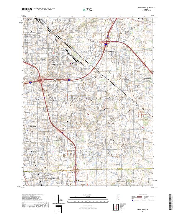
2022 Map of Beech Grove
USGS Topo · Published 2022About this map
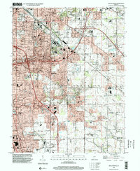
Beech Grove serves as the focal point of this suburban Indiana landscape at the southern edge of the Indianapolis metropolitan area. The 2022 survey captures a high-density network of neighborhoods and transportation corridors, including the heavy rail lines of the Big Four Rd and the junction of I-465, I-74, and I-65. The map is particularly rich in genealogical data, preserving the locations of numerous historic burial grounds such as New Crown Cem, Methodist Chapel Cem, and Saint Johns Lutheran Cem.
Find a feature on this map
70 named features on this map. Tap any name to fly to it.
Don’t see what you’re looking for? This feature index may not catch every label — zoom into the map to look around manually.
Map Details
Editions of this 2022 Beech Grove Map
This is the sole edition of this map. No revisions or reprints were ever made.
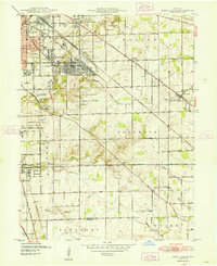
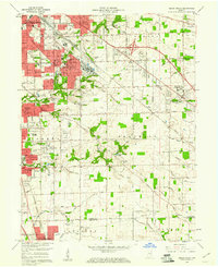
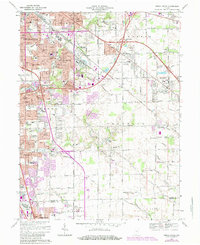
Historical Maps of Twin Brooks Through Time
5 maps found
Featured Locations
- Greenwood, IN
- Indianapolis, IN
- Beech Grove, Indianapolis
- Homecroft, Indianapolis
- Galader Station, Indianapolis