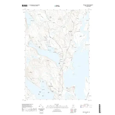
2021 Map of Beech Hill Pond
USGS Topo · Published 2021About this map
The town of Mariaville and the neighboring community of Otis anchor this interior Hancock County landscape, where glacial legacy is written in the deep basins of Beech Hill Pond and Green Lake. The mapping reveals a distinct pattern of historical interment and small-scale settlement, with numerous family and community burial grounds like Fogg Cem, Evergreen Cem, and Tannery Hill Cem dotting the roadsides. These sites, along with landmarks like Tannery Hill and Tannery Brook, point to the area's industrial past in leather processing.
Find a feature on this map
121 named features on this map. Tap any name to fly to it.
Don’t see what you’re looking for? This feature index may not catch every label — zoom into the map to look around manually.
Map Details
Editions of this 2021 Beech Hill Pond Map
This is the sole edition of this map. No revisions or reprints were ever made.
Other maps of this area

1900 · Orland
USGS Topo · 1:62,500

1902 · Orono
USGS Topo · 1:62,500

1911 · Ellsworth
USGS Topo · 1:62,500

1929 · Great Pond
USGS Topo · 1:48,000

1932 · Great Pond
USGS Topo · 1:62,500

1940 · Ellsworth
USGS Topo · 1:62,500

1942 · Orland
USGS Topo · 1:62,500

1942 · Ellsworth
USGS Topo · 1:62,500

1944 · Orono
USGS Topo · 1:62,500

1946 · Orono
USGS Topo · 1:62,500