Loading...
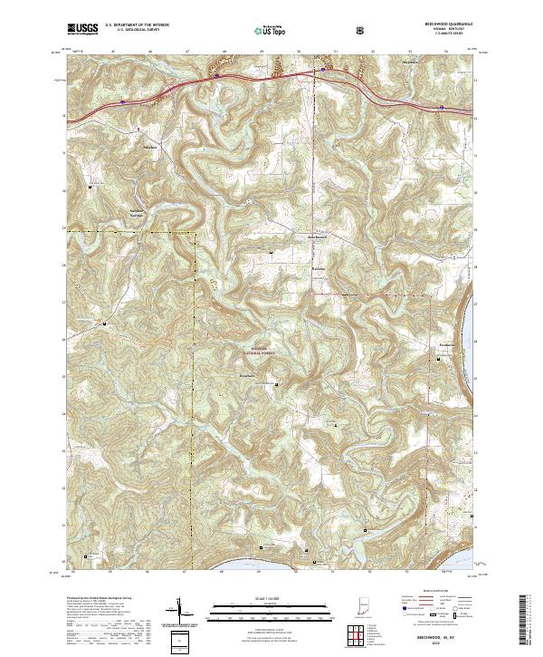
Loading map...2022 Map of Beechwood
USGS Topo · Published 2022About this map
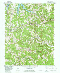
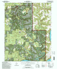
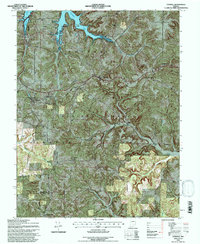
The Little Blue River and its tributaries carve through the heart of the Hoosier National Forest in this southern Indiana landscape. The area is defined by a series of small, scattered settlements including Beechwood, Sulphur, and Fredonia, the latter situated on the high banks overlooking the Ohio River. This river border marks the state boundary between Indiana and Kentucky, where the terrain drops sharply toward the water.
Find a feature on this map
59 named features on this map. Tap any name to fly to it.
Don’t see what you’re looking for? This feature index may not catch every label — zoom into the map to look around manually.
Map Details
Date Portrayed2022
Date Published2022
PublisherU.S. Geological Survey
Map TypeTopographic
Scale1:24000
Physical Dimensions24 x 29 inches
Editions of this 2022 Beechwood Map
This is the sole edition of this map. No revisions or reprints were ever made.
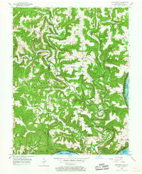
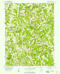
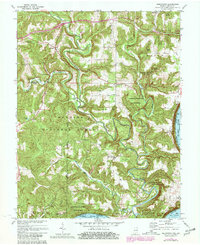
Historical Maps of Sulphur Through Time
8 maps found

Featured Locations
Source Details
SourceU.S. Geological Survey
CopyrightPublic Domain