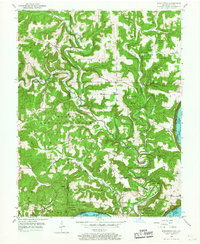
1950 Map of Beechwood
USGS Topo · Published 1967About this map
The Little Blue River winds through the hills of Southern Indiana, cutting a deep valley toward its confluence with the Ohio River near Fredonia. This mid-century landscape is defined by the intersection of the Hoosier National Forest and the Harrison County State Forest, where small upland communities like Beechwood, Sulphur, and Deuchars serve as local hubs. The settlement pattern follows the intricate drainage network of creeks like Stinking Fork and Turkey Fork, with rural social life anchored by country institutions such as Old Union Ch, Jericho Sch, and the Harvey Union Ch. On the high ground, the Buzzard Roost Fire Tower overlooks a terrain marked by numerous family burial grounds including Wiseman Cem and Riddle Cem. The map illustrates the state boundary between Indiana and Kentucky as it follows the main channel of the Ohio at the map's southern edge.
Find a feature on this map
36 named features on this map. Tap any name to fly to it.
Don’t see what you’re looking for? This feature index may not catch every label — zoom into the map to look around manually.
Map Details
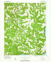
Editions of this 1950 Beechwood Map
3 editions found
Other maps of this area

1946 · Leavenworth
USGS Topo · 1:24,000

1947 · Leavenworth
USGS Topo · 1:24,000

1948 · Milltown
USGS Topo · 1:24,000

1950 · Beechwood
USGS Topo · 1:24,000

1950 · English
USGS Topo · 1:24,000
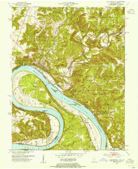
1950 · Leavenworth
USGS Topo · 1:24,000
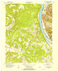
1950 · New Amsterdam
USGS Topo · 1:24,000

1950 · Alton
USGS Topo · 1:62,500

1950 · Alton
USGS Topo · 1:24,000

1951 · Alton
USGS Topo · 1:24,000