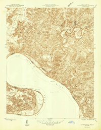
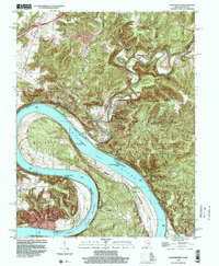
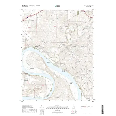
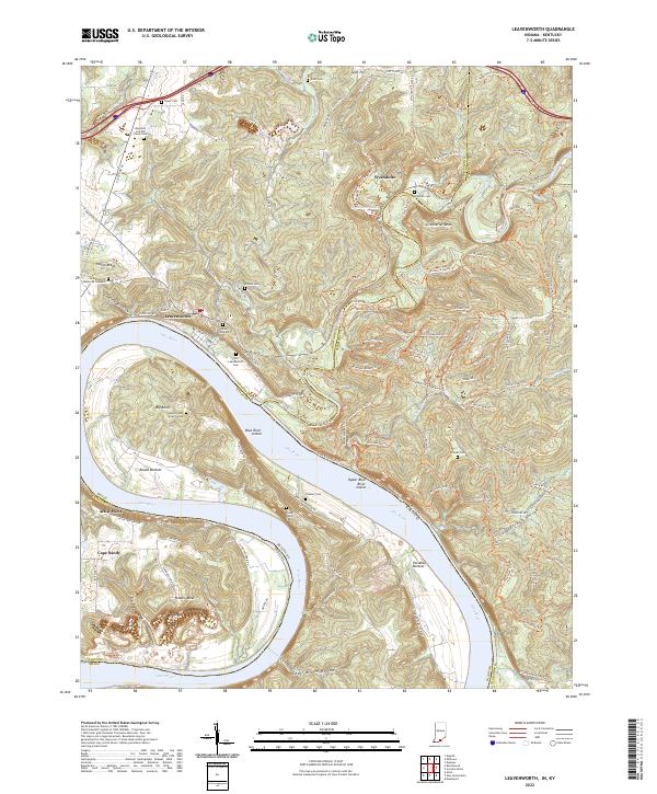
1946 Map of Leavenworth
USGS Topo · Published 1946About this map
Leavenworth and the sweeping bend of the Ohio River define this 1946 advance sheet, which documents the borderlands of Crawford and Harrison counties in Indiana alongside Meade County, Kentucky. The landscape is heavily dissected by drainage systems like Dry Creek, Sharp Creek, and the Blue River, which snakes through the northeast corner. This survey captures a moment before major modern development, showing the river regulated by Dam 44 and its associated pools. Local life centers on rural nodes such as Wyandotte and Cape Sandy, with community landmarks like Blue River Chapel, Potato Run Ch, and the Sunshine Sch providing critical reference points for genealogists. The presence of Schooner Point Landing and several named hollows like Indian Hollow and Friday Hollow reflects a period when the river was the primary geographic and economic focus for these isolated settlements.
Find a feature on this map
39 named features on this map. Tap any name to fly to it.
Don’t see what you’re looking for? This feature index may not catch every label — zoom into the map to look around manually.
Map Details
Editions of this 1946 Leavenworth Map
This is the sole edition of this map. No revisions or reprints were ever made.
Historical Maps of Leavenworth Through Time
10 maps found
1946 Leavenworth
Crawford County, IN
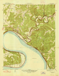
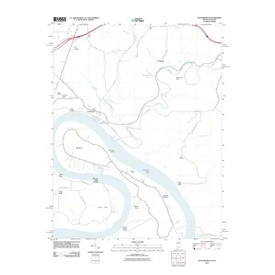
1947 Leavenworth
Crawford County, IN
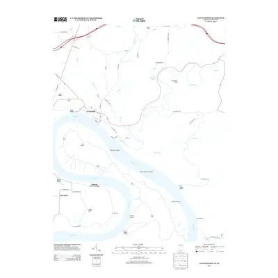
1950 Leavenworth
Crawford County, IN
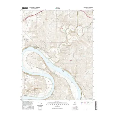
1970 Leavenworth
Crawford County, IN
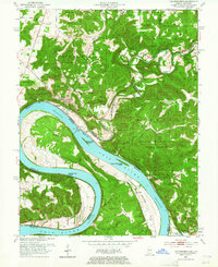
1998 Leavenworth
Crawford County, IN
2012 Leavenworth
Crawford County, IN
2013 Leavenworth
Crawford County, IN
2016 Leavenworth
Crawford County, IN
2019 Leavenworth
Crawford County, IN
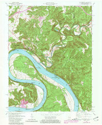
2022 Leavenworth
Crawford County, IN