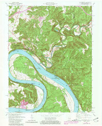
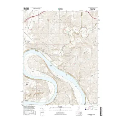
1947 Map of Leavenworth
USGS Topo · Published 1947About this map
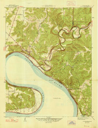
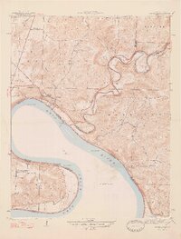
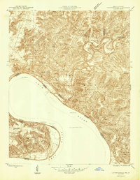
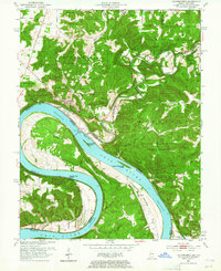
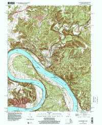
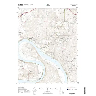
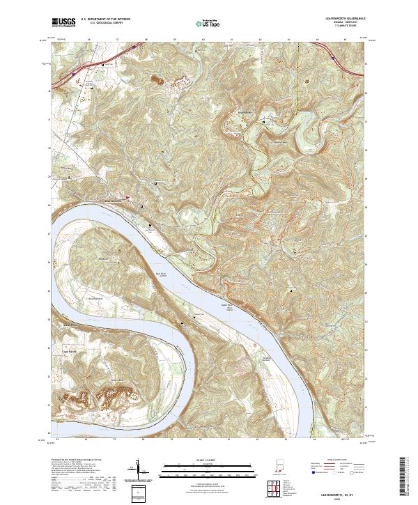
The Ohio River serves as the dominant boundary in this 1947 survey, separating Crawford and Harrison counties in Indiana from Meade County, Kentucky. The river's winding path dictates the local topography, carving deep valleys like Indian Hollow and Cold Friday Hollow. The community of Leavenworth is positioned along the northern bank, while the smaller settlement of Cape Sandy sits within a dramatic horseshoe bend to the south.
Find a feature on this map
32 named features on this map. Tap any name to fly to it.
Don’t see what you’re looking for? This feature index may not catch every label — zoom into the map to look around manually.
Map Details
Editions of this 1947 Leavenworth Map
2 editions found
Historical Maps of Leavenworth Through Time
10 maps found
1946 Leavenworth
Crawford County, IN
1947 Leavenworth
Crawford County, IN
1950 Leavenworth
Crawford County, IN
1970 Leavenworth
Crawford County, IN
1998 Leavenworth
Crawford County, IN
2012 Leavenworth
Crawford County, IN
2013 Leavenworth
Crawford County, IN
2016 Leavenworth
Crawford County, IN
2019 Leavenworth
Crawford County, IN
2022 Leavenworth
Crawford County, IN