
1950 Map of Beechwood
USGS Topo · Published 1952About this map
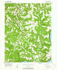
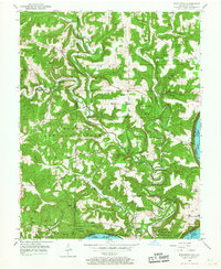
The Little Blue River and Boone River carve deep, winding paths through the heart of the Hoosier National Forest and Harrison County State Forest at the start of the 1950s. This survey of the Indiana-Kentucky borderlands captures a landscape defined by sharp elevation changes, where community life centered around small settlements like Sulphur and Beechwood. The topographic data highlights a network of ridge-top schools and country churches, including the Old Union Ch and Jericho Sch, connected by winding roads that follow the difficult terrain.
Find a feature on this map
39 named features on this map. Tap any name to fly to it.
Don’t see what you’re looking for? This feature index may not catch every label — zoom into the map to look around manually.
Map Details
Editions of this 1950 Beechwood Map
3 editions found
Other maps of this area

1946 · Leavenworth
USGS Topo · 1:24,000

1947 · Leavenworth
USGS Topo · 1:24,000

1948 · Milltown
USGS Topo · 1:24,000

1950 · English
USGS Topo · 1:24,000
1950 · Leavenworth
USGS Topo · 1:24,000
1950 · New Amsterdam
USGS Topo · 1:24,000

1950 · Alton
USGS Topo · 1:62,500

1950 · Alton
USGS Topo · 1:24,000

1951 · Alton
USGS Topo · 1:24,000

1954 · Derby
USGS Topo · 1:24,000