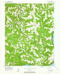
1950 Map of Beechwood
USGS Topo · Published 1963About this map
The Little Blue River carves a winding path through the heart of this mid-century Indiana landscape, eventually joining the mighty Ohio River at the southern boundary. This terrain, heavily wooded and protected within the Hoosier National Forest and Harrison County State Forest, reveals a rural community structured around small schools and country churches. The distribution of features like Jericho Sch and Myers Sch alongside Harvey Union Ch suggests a sparsely populated region where social life was anchored by these local institutions.
Find a feature on this map
33 named features on this map. Tap any name to fly to it.
Don’t see what you’re looking for? This feature index may not catch every label — zoom into the map to look around manually.
Map Details
Editions of this 1950 Beechwood Map
3 editions found
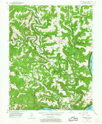
Other maps of this area

1946 · Leavenworth
USGS Topo · 1:24,000

1947 · Leavenworth
USGS Topo · 1:24,000

1948 · Milltown
USGS Topo · 1:24,000

1950 · Beechwood
USGS Topo · 1:24,000

1950 · English
USGS Topo · 1:24,000
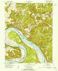
1950 · Leavenworth
USGS Topo · 1:24,000
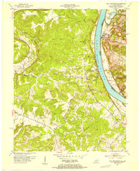
1950 · New Amsterdam
USGS Topo · 1:24,000

1950 · Alton
USGS Topo · 1:62,500

1950 · Alton
USGS Topo · 1:24,000

1951 · Alton
USGS Topo · 1:24,000