
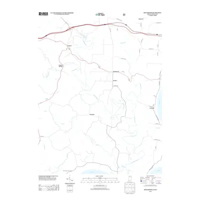
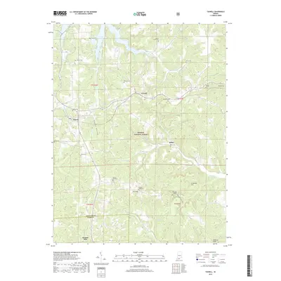
2022 Map of Taswell
USGS Topo · Published 2022About this map
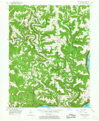
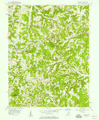
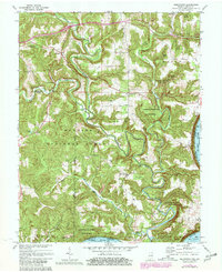
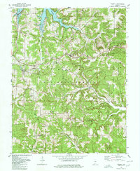
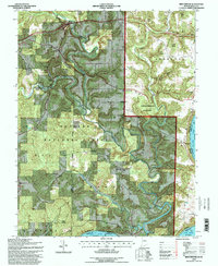
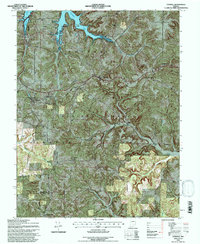
Taswell and Eckerty sit along the high ground of southern Indiana, serving as central points in a landscape defined by the expansive Hoosier National Forest. The topography is marked by a network of drainage systems including the Anderson River and Middle Fork Anderson River, which carve through the terrain toward Doolittle Mills near the border of Crawford and Perry counties. To the north, the waters of Patoka Lake reach into the valleys near Mount Eden Cemetery, illustrating the modern water management that has reshaped this rural area.
Find a feature on this map
41 named features on this map. Tap any name to fly to it.
Don’t see what you’re looking for? This feature index may not catch every label — zoom into the map to look around manually.
Map Details
Editions of this 2022 Taswell Map
This is the sole edition of this map. No revisions or reprints were ever made.
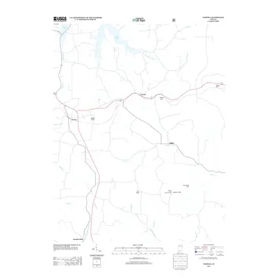
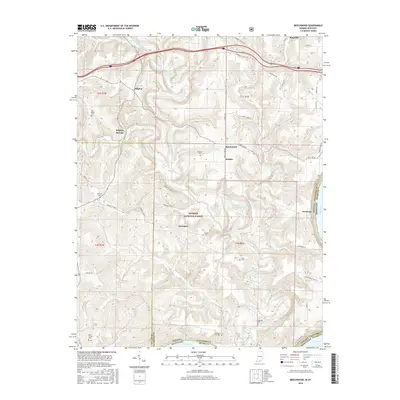
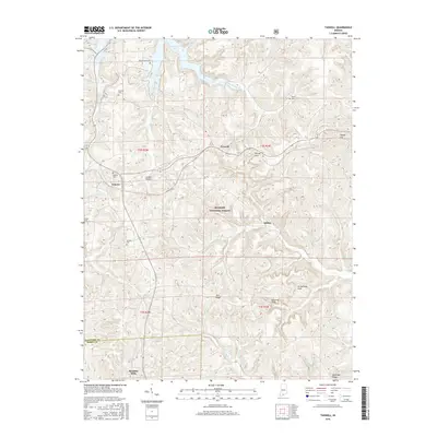
Historical Maps of Eckerty Through Time
16 maps found
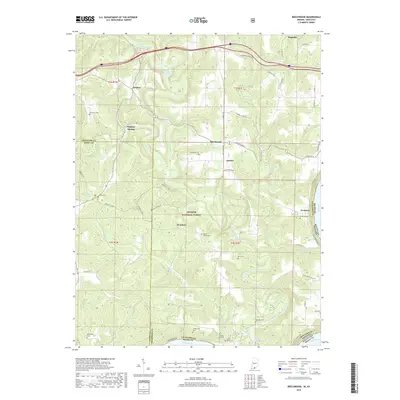
1950 Beechwood
Crawford County, IN
1956 Taswell
Crawford County, IN
1970 Beechwood
Crawford County, IN
1980 Taswell
Crawford County, IN
1993 Beechwood
Crawford County, IN
1993 Taswell
Crawford County, IN
2010 Beechwood
Crawford County, IN
2010 Taswell
Crawford County, IN
2013 Beechwood
Crawford County, IN
2013 Taswell
Crawford County, IN
2016 Beechwood
Crawford County, IN
2016 Taswell
Crawford County, IN
2019 Beechwood
Crawford County, IN
2019 Taswell
Crawford County, IN
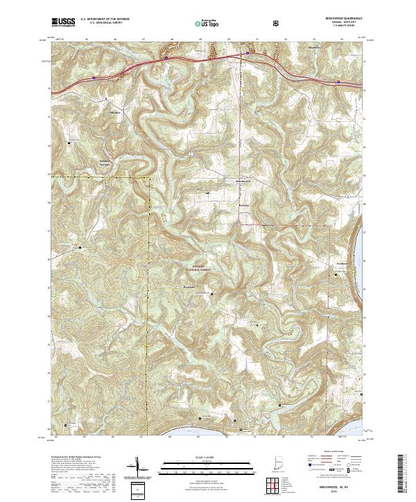
2022 Beechwood
Crawford County, IN
2022 Taswell
Crawford County, IN