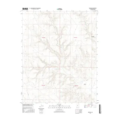
2017 Map of Beenham
USGS Topo · Published 2017About this map
Beenham sits in the northeastern high plains of New Mexico, appearing here as a quiet settlement defined by the canyonlands and seasonal watercourses of Union County. The landscape is deeply incised by Tramperos Canyon, where the drainage of Tramperos Cr and Bushnell Cr creates a complex network of breaks and draws across the plateau. This 2017 survey reveals a region primarily organized by large-scale ranching or agricultural divisions, as evidenced by the prominent Public Land Survey System grids such as t23n r30e and t23n r31e. Connectivity in this isolated stretch of the state relies on a handful of graded routes, including Pasamonte Rd and Co Rd C023, which navigate the elevation changes between the level tablelands and the canyon floor.
Find a feature on this map
11 named features on this map. Tap any name to fly to it.
Don’t see what you’re looking for? This feature index may not catch every label — zoom into the map to look around manually.
Map Details
Editions of this 2017 Beenham Map
This is the sole edition of this map. No revisions or reprints were ever made.
Other maps of this area

1954 · Dalhart
USGS Topo · 1:250,000

1958 · Dalhart
USGS Topo · 1:250,000

1962 · Dalhart
USGS Topo · 1:250,000

1973 · Yates SE
USGS Topo · 1:24,000

1973 · Garcia Creek
USGS Topo · 1:24,000

1973 · Beenham
USGS Topo · 1:24,000
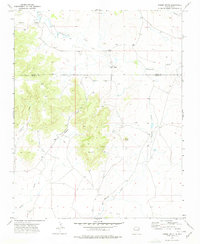
1973 · Minnie Butte
USGS Topo · 1:24,000

1973 · Romero Spring
USGS Topo · 1:24,000
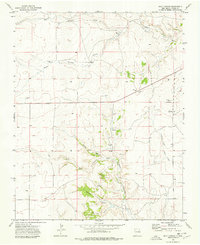
1973 · Goat Canyon
USGS Topo · 1:24,000
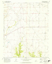
1973 · Pennington
USGS Topo · 1:24,000