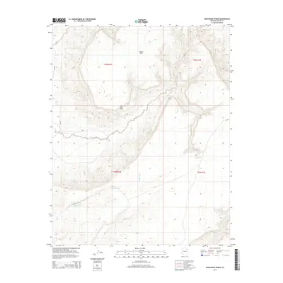
2014 Map of Beeshsikad Spring
USGS Topo · Published 2014About this map
Balakai Mesa dominates the northern landscape of this region within the Navajo Nation, standing as a prominent topographic feature above the surrounding terrain. Below its southern rim, the land is marked by Owl Hat Point and carved by the intermittent flow of Jeddito Wash, which traverses the southern half of the quadrangle. The distribution of water sources like Beeshsikad Spring, Oak Spring, and Cow Springs reveals the essential points of hydrologic significance for local residents and livestock in this high-desert environment.
Find a feature on this map
14 named features on this map. Tap any name to fly to it.
Don’t see what you’re looking for? This feature index may not catch every label — zoom into the map to look around manually.
Map Details
Editions of this 2014 Beeshsikad Spring Map
This is the sole edition of this map. No revisions or reprints were ever made.
Other maps of this area

1883 · Marsh Pass
USGS Topo · 1:250,000

1883 · Tusayan
USGS Topo · 1:250,000

1886 · Tusayan
USGS Topo · 1:250,000

1886 · Fort Defiance
USGS Topo · 1:250,000

1892 · Fort Defiance
USGS Topo · 1:250,000

1892 · Marsh Pass
USGS Topo · 1:250,000

1892 · Canyon De Chelly
USGS Topo · 1:250,000

1947 · Flagstaff
USGS Topo · 1:250,000

1954 · Shiprock
USGS Topo · 1:250,000

1954 · Flagstaff
USGS Topo · 1:250,000