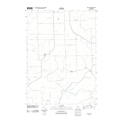
2010 Map of Beetown
USGS Topo · Published 2010About this map
Blake Prairie dominates the northern reaches of this Grant County landscape, providing a level upland transition between the branching valleys of Rattlesnake Creek and Muskellunge Creek. The settlement of Beetown sits in the southeast, historically positioned near the confluence of Beetown Branch and the Grant River. This area is characterized by its agricultural longevity, evidenced by the numerous small community burying grounds like Saint Marys Cemetery, Blake Prairie Cemetery, and Burns Cemetery that dot the countryside. The road network, including County Hwy-V and County Hwy-U, connects the central hub of Diamond Grove to North Andover. Significant watercourses such as Heiler Creek and Kuenster Creek carve through the terrain, reflecting the drainage patterns that have shaped the region's rural development and land use since early settlement.
Find a feature on this map
53 named features on this map. Tap any name to fly to it.
Don’t see what you’re looking for? This feature index may not catch every label — zoom into the map to look around manually.
Map Details
Editions of this 2010 Beetown Map
This is the sole edition of this map. No revisions or reprints were ever made.
Other maps of this area

1900 · Lancaster
USGS Topo · 1:125,000

1902 · Elkader
USGS Topo · 1:125,000

1904 · Lancaster
USGS Topo · 1:125,000

1908 · Lancaster
USGS Topo · 1:125,000

1955 · Cassville
USGS Topo · 1:24,000

1955 · Balltown
USGS Topo · 1:24,000

1957 · Turkey River
USGS Topo · 1:24,000

1959 · Dubuque
USGS Topo · 1:250,000

1961 · Dubuque
USGS Topo · 1:250,000

1962 · Dubuque
USGS Topo · 1:250,000