
1957 Map of Turkey River
USGS Topo · Published 1959About this map
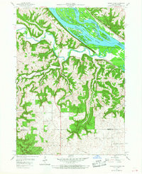
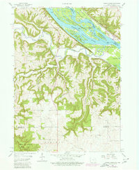
The Turkey River winds through the deeply incised bluffs of northeastern Iowa before meeting the Mississippi River in this mid-century survey. The landscape is defined by its complex drainage network, where numerous hollows like Andregg Hollow and Hog Hollow cut through the high ridges. At the river junction, the village of Turkey River serves as a nexus for the Chicago Milwaukee St Paul and Pacific railroad, while the eastern bank across the state line in Wisconsin is dominated by the Chicago Burlington and Quincy line.
Find a feature on this map
37 named features on this map. Tap any name to fly to it.
Don’t see what you’re looking for? This feature index may not catch every label — zoom into the map to look around manually.
Map Details
Editions of this 1957 Turkey River Map
Other maps of this area

1900 · Lancaster
USGS Topo · 1:125,000

1902 · Elkader
USGS Topo · 1:125,000

1904 · Lancaster
USGS Topo · 1:125,000

1908 · Lancaster
USGS Topo · 1:125,000

1955 · Cassville
USGS Topo · 1:24,000

1957 · Colesburg
USGS Topo · 1:24,000

1957 · Holy Cross
USGS Topo · 1:24,000

1959 · Dubuque
USGS Topo · 1:250,000

1961 · Dubuque
USGS Topo · 1:250,000

1962 · Dubuque
USGS Topo · 1:250,000