
1957 Map of Colesburg
USGS Topo · Published 1959About this map
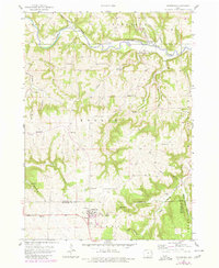
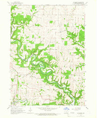
Colesburg anchors the southern portion of this mid-century survey, situated at the intersection of Delaware, Dubuque, and Clayton counties. The landscape is defined by the winding course of the Turkey River to the north and the Little Turkey River to the east, with numerous deep drainage patterns like Devils Hollow and White Pine Hollow carving through the terrain. This period shows a rural layout dotted with community landmarks essential for genealogical research, including Bethel Ch and several family-named burial grounds such as Hanna Cem, Bolsinger Cem, and Brown Cem. Small settlements like Osterdock, Updegraff, and Fairview serve as local hubs, connected by a network of improved and unimproved roads. The presence of a Sandpit and several locations marked Quarry suggests the local importance of aggregate extraction in the 1950s economy.
Find a feature on this map
39 named features on this map. Tap any name to fly to it.
Don’t see what you’re looking for? This feature index may not catch every label — zoom into the map to look around manually.
Map Details
Editions of this 1957 Colesburg Map
2 editions found
Other maps of this area

1902 · Elkader
USGS Topo · 1:125,000

1957 · Turkey River
USGS Topo · 1:24,000

1959 · Dubuque
USGS Topo · 1:250,000

1961 · Dubuque
USGS Topo · 1:250,000

1962 · Dubuque
USGS Topo · 1:250,000
1962 · New Vienna
USGS Topo · 1:24,000
1962 · Garnavillo
USGS Topo · 1:24,000

1962 · Petersburg
USGS Topo · 1:24,000
1962 · Guttenberg
USGS Topo · 1:24,000
1964 · Littleport
USGS Topo · 1:24,000