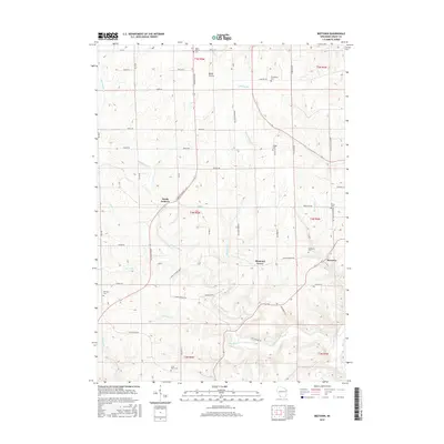
2016 Map of Beetown
USGS Topo · Published 2016About this map
Beetown and the surrounding coulees of Grant County are defined by a complex network of waterways that have carved deep into the landscape, including Rattlesnake Cr, Muskellunge Cr, and Flat Rock Cr. This rural landscape is anchored by small settlements like North Andover and Diamond Grove, which are linked by historic routes such as the Great River Rd. The area's long-established community identity is evident in the numerous burial grounds dispersed across the townships, from the Beetown Cem on the eastern edge to Saint Marys Cem and Ramsey Cem in the southwest.
Find a feature on this map
57 named features on this map. Tap any name to fly to it.
Don’t see what you’re looking for? This feature index may not catch every label — zoom into the map to look around manually.
Map Details
Editions of this 2016 Beetown Map
This is the sole edition of this map. No revisions or reprints were ever made.
Other maps of this area

1900 · Lancaster
USGS Topo · 1:125,000

1902 · Elkader
USGS Topo · 1:125,000

1904 · Lancaster
USGS Topo · 1:125,000

1908 · Lancaster
USGS Topo · 1:125,000

1955 · Cassville
USGS Topo · 1:24,000

1955 · Balltown
USGS Topo · 1:24,000

1957 · Turkey River
USGS Topo · 1:24,000

1959 · Dubuque
USGS Topo · 1:250,000

1961 · Dubuque
USGS Topo · 1:250,000

1962 · Dubuque
USGS Topo · 1:250,000