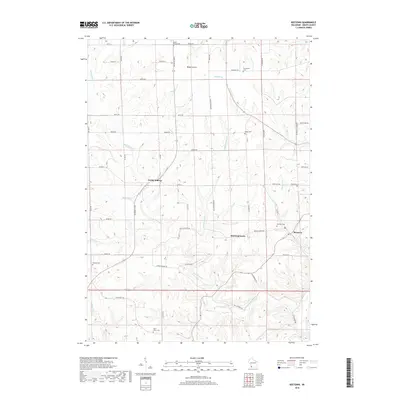
2018 Map of Beetown
USGS Topo · Published 2018About this map
Beetown and North Andover anchor this southwestern Wisconsin landscape, where the agricultural uplands of Blake Prairie meet a dense network of coulees and creeks. The terrain is deeply incised by Rattlesnake Cr and the Grant River, creating a complex topography that dictated early settlement patterns and road placements like Great River Rd. This survey provides a modern look at rural Grant County, documenting numerous small burial grounds that speak to the area’s long history of family farming, including Dodge Cem, Burns Cem, and the centrally located Beetown Cem. The placement of Diamond Grove at the junction of Diamond Grove Rd and Muscallounge Rd illustrates how these crossroads communities continue to serve as local landmarks amidst the ridges and valleys of the Driftless Area.
Find a feature on this map
58 named features on this map. Tap any name to fly to it.
Don’t see what you’re looking for? This feature index may not catch every label — zoom into the map to look around manually.
Map Details
Editions of this 2018 Beetown Map
This is the sole edition of this map. No revisions or reprints were ever made.
Other maps of this area

1900 · Lancaster
USGS Topo · 1:125,000

1902 · Elkader
USGS Topo · 1:125,000

1904 · Lancaster
USGS Topo · 1:125,000

1908 · Lancaster
USGS Topo · 1:125,000

1955 · Cassville
USGS Topo · 1:24,000

1955 · Balltown
USGS Topo · 1:24,000

1957 · Turkey River
USGS Topo · 1:24,000

1959 · Dubuque
USGS Topo · 1:250,000

1961 · Dubuque
USGS Topo · 1:250,000

1962 · Dubuque
USGS Topo · 1:250,000