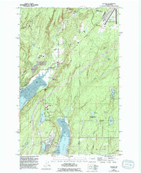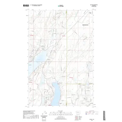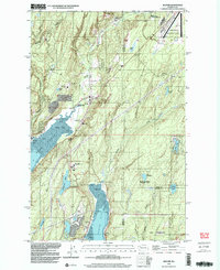
1999 Map of Belfair
USGS Topo · Published 2003About this map
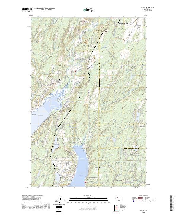
The waters of the Hood Canal and North Bay anchor this late-twentieth-century study of the Mason County landscape. The settlement of Belfair sits at the head of Lynch Cove, where the Union River meets the salt water. This area exhibits a distinct blend of conservation and infrastructure, featuring the Union River Wildlife Area alongside the industrial presence of the Navy Railroad and the Bremerton National Airport. To the south, the community of Allyn borders the bay, while the interior is dotted with numerous small bodies of water like Devereaux Lake and Wye Lake. Educational and community hubs are well-documented, including Sand Hill Sch and the St Albans Tacoma Girl Scout Camp, providing a detailed look at the rural and residential development near the Key Peninsula border.
Find a feature on this map
48 named features on this map. Tap any name to fly to it.
Don’t see what you’re looking for? This feature index may not catch every label — zoom into the map to look around manually.
Map Details
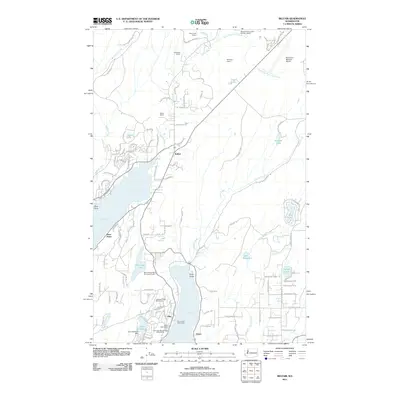
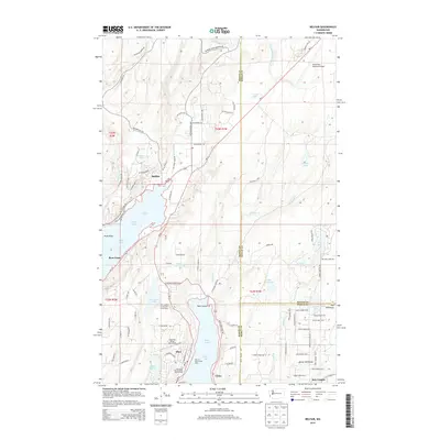
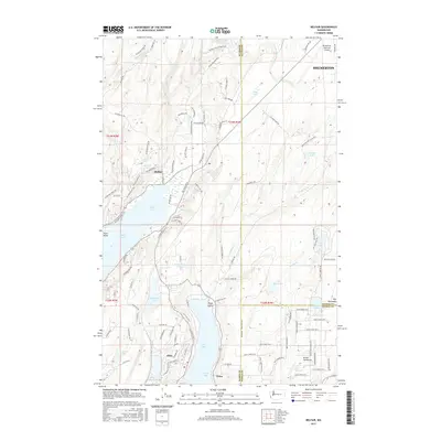
Editions of this 1999 Belfair Map
This is the sole edition of this map. No revisions or reprints were ever made.
Historical Maps of Bremerton Through Time
7 maps found