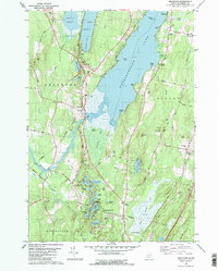
1980 Map of Belgrade
USGS Topo · Published 1980About this map
Belgrade serves as the focal point for this survey of Maine's central lakes region, situated where Belgrade Stream exits the southern end of Great Pond. The landscape is dominated by the long, narrow corridor of Messalonskee Lake, where landmarks like Star Point and Chowder Ledge define the eastern shoreline. The transportation network is anchored by the Maine Central railroad and a series of rural roads, including Wings Mills Rd and Quaker Road, connecting isolated crossroads like Bacons Corner and West Sidney.
Find a feature on this map
76 named features on this map. Tap any name to fly to it.
Don’t see what you’re looking for? This feature index may not catch every label — zoom into the map to look around manually.
Map Details
Editions of this 1980 Belgrade Map
2 editions found
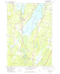
Other maps of this area

1892 · Waterville
USGS Topo · 1:62,500

1892 · Augusta
USGS Topo · 1:62,500

1893 · Vassalboro
USGS Topo · 1:62,500

1894 · Norridgewock
USGS Topo · 1:62,500

1898 · Norridgewock
USGS Topo · 1:62,500

1898 · Vassalboro
USGS Topo · 1:62,500

1941 · Vassalboro
USGS Topo · 1:62,500

1941 · Augusta
USGS Topo · 1:62,500

1943 · Augusta
USGS Topo · 1:62,500

1943 · Vassalboro
USGS Topo · 1:62,500