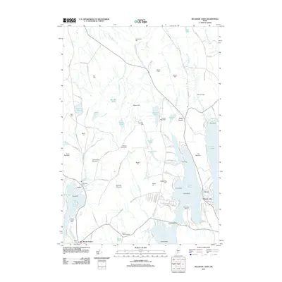
2011 Map of Belgrade Lakes
USGS Topo · Published 2011About this map
Belgrade Lakes and the surrounding Kennebec County shoreline are defined by the intricate relationship between water and elevated terrain in this early 21st-century landscape. The village of Belgrade Lakes sits narrowly between Great Pond and Long Pond, while to the west, the settlements of Vienna and Mount Vernon are anchored by their respective mill-era waterworks, including the Mill Pond Dam and Flying Pond Dam. The topographical character is marked by significant rises such as McGaffey Mountain, John Brown Mountain, and Mount Philip, which overlook a complex network of brooks and ponds.
Find a feature on this map
117 named features on this map. Tap any name to fly to it.
Don’t see what you’re looking for? This feature index may not catch every label — zoom into the map to look around manually.
Map Details
Editions of this 2011 Belgrade Lakes Map
This is the sole edition of this map. No revisions or reprints were ever made.
Other maps of this area

1892 · Augusta
USGS Topo · 1:62,500

1894 · Norridgewock
USGS Topo · 1:62,500

1898 · Norridgewock
USGS Topo · 1:62,500

1910 · Livermore
USGS Topo · 1:62,500

1912 · Livermore
USGS Topo · 1:62,500

1924 · Farmington
USGS Topo · 1:62,500

1941 · Livermore
USGS Topo · 1:62,500

1941 · Augusta
USGS Topo · 1:62,500

1943 · Augusta
USGS Topo · 1:62,500

1943 · Norridgewock
USGS Topo · 1:62,500