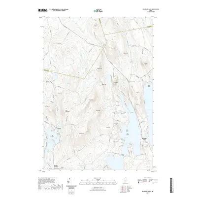
2021 Map of Belgrade Lakes
USGS Topo · Published 2021About this map
Belgrade Lakes sits at the narrowist point between the massive Great Pond and Long Pond, a geography that has defined the region's development for over a century. The surrounding highlands are dominated by significant peaks such as McGaffey Mtn, Vienna Mtn, and Mt Philip, which create a complex drainage system feeding into basins like McIntire Pond and Kimball Pond. This modern survey details the transition from the village center at Vienna near Mill Pond to the high ridges of the western Kennebec County border.
Find a feature on this map
128 named features on this map. Tap any name to fly to it.
Don’t see what you’re looking for? This feature index may not catch every label — zoom into the map to look around manually.
Map Details
Editions of this 2021 Belgrade Lakes Map
This is the sole edition of this map. No revisions or reprints were ever made.
Other maps of this area

1892 · Augusta
USGS Topo · 1:62,500

1894 · Norridgewock
USGS Topo · 1:62,500

1898 · Norridgewock
USGS Topo · 1:62,500

1910 · Livermore
USGS Topo · 1:62,500

1912 · Livermore
USGS Topo · 1:62,500

1924 · Farmington
USGS Topo · 1:62,500

1941 · Livermore
USGS Topo · 1:62,500

1941 · Augusta
USGS Topo · 1:62,500

1943 · Augusta
USGS Topo · 1:62,500

1943 · Norridgewock
USGS Topo · 1:62,500