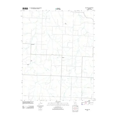
2011 Map of Bellamy
USGS Topo · Published 2011About this map
Bellamy and Rousertown represent the primary settlements in this rural Vernon County landscape, which is defined by a dendritic network of drainages that feed into the local creek systems. For genealogists and local historians, several family and community landmarks are documented, including the Olive Branch Cemetery in the northeast and both Tolson Cemetery and Warwick Cemetery located near the western boundary. The natural terrain is shaped by the winding courses of Walnut Creek, Clear Creek, and McCarty Creek, which partition the agricultural grid. This 2011 survey by the U.S. Geological Survey shows a modern road network characterized by numeric rural routes such as NE 90th Rd and NE 100th Rd, providing a detailed look at the contemporary land divisions and water resources that have sustained this Missouri farming community for generations.
Find a feature on this map
18 named features on this map. Tap any name to fly to it.
Don’t see what you’re looking for? This feature index may not catch every label — zoom into the map to look around manually.
Map Details
Editions of this 2011 Bellamy Map
This is the sole edition of this map. No revisions or reprints were ever made.
Other maps of this area

1886 · Nevada
USGS Topo · 1:125,000

1894 · Nevada
USGS Topo · 1:125,000

1933 · Camp Clark
USGS Topo · 1:24,000

1939 · Dederick
USGS Topo · 1:24,000

1939 · Eldorado Springs South
USGS Topo · 1:24,000
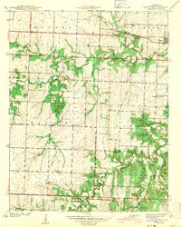
1942 · Dederick
USGS Topo · 1:24,000
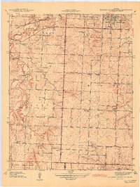
1942 · Eldorado Springs South
USGS Topo · 1:24,000

1947 · Joplin
USGS Topo · 1:250,000
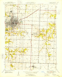
1948 · Nevada
USGS Topo · 1:24,000

1949 · Joplin
USGS Topo · 1:250,000