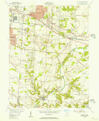
1955 Map of Bellbrook
USGS Topo · Published 1956About this map
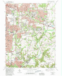
Bellbrook and the surrounding township appear at a mid-century crossroads where suburban expansion from Dayton and Kettering begins to meet long-established farming communities. The landscape is defined by the confluence of Sugar Creek and the Little Miami River, with local centers like Washington Mills and Zimmerman serving as focal points for the rural road network. Significant institutional footprints are visible, including the Dayton State Hospital Farm and educational sites like Township High Sch.
Find a feature on this map
76 named features on this map. Tap any name to fly to it.
Don’t see what you’re looking for? This feature index may not catch every label — zoom into the map to look around manually.
Map Details
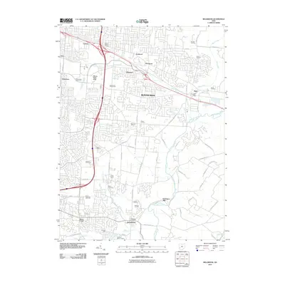
Editions of this 1955 Bellbrook Map
This is the sole edition of this map. No revisions or reprints were ever made.
Historical Maps of Dayton Through Time
7 maps found