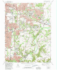
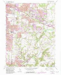
1965 Map of Bellbrook
USGS Topo · Published 1992About this map
Little Miami River provides the natural spine of this Greene County landscape, which by the mid-1960s was undergoing significant suburban expansion. The transition from institutional agricultural land, such as the Dayton State Hospital Farm, to residential developments like Valleywood and Zimmerman is clearly evident. The map documents the persistent older rural character in areas like Washington Mills and the industrial presence at Alpha along the Penn Central rail line. Educational and religious institutions are dense here, ranging from Marianist College to community centers like Hawker Ch. The conservation of the river corridor is established through The Narrows State Scenic River Reserve, while long-standing local landmarks like Pioneer Cem and Whites Corner anchor the region's genealogical history.
Find a feature on this map
68 named features on this map. Tap any name to fly to it.
Don’t see what you’re looking for? This feature index may not catch every label — zoom into the map to look around manually.
Map Details
Editions of this 1965 Bellbrook Map
5 editions found
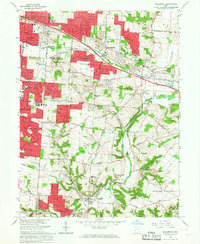
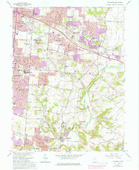
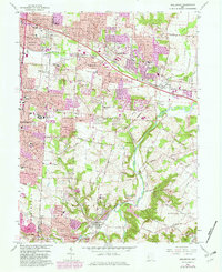
Other maps of this area

1904 · Springfield
USGS Topo · 1:62,500

1904 · Dayton
USGS Topo · 1:62,500

1906 · Dayton
USGS Topo · 1:62,500

1906 · Springfield
USGS Topo · 1:62,500

1913 · Waynesville
USGS Topo · 1:62,500

1915 · Waynesville
USGS Topo · 1:62,500

1917 · Xenia
USGS Topo · 1:62,500

1947 · Columbus
USGS Topo · 1:250,000

1953 · Cincinnati
USGS Topo · 1:250,000

1955 · New Burlington
USGS Topo · 1:24,000