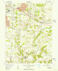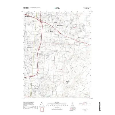
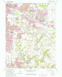
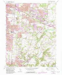
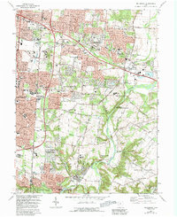
1965 Map of Bellbrook
USGS Topo · Published 1982About this map
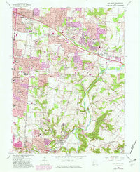
The Little Miami River valley and its surrounding highlands define the geography of this mid-1960s study, documenting a period of suburban expansion into the Greene County countryside. The landscape is characterized by established rural settlements like Bellbrook and Washington Mills, juxtaposed against the growing residential tracts of Kettering and Valleywood. Transportation networks such as the Baltimore and Ohio Railroad and Conrail serve as industrial corridors, while institutions like Marianist College and the Dayton State Hospital Farm occupy significant acreage.
Find a feature on this map
55 named features on this map. Tap any name to fly to it.
Don’t see what you’re looking for? This feature index may not catch every label — zoom into the map to look around manually.
Map Details
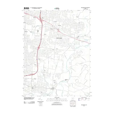
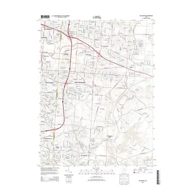
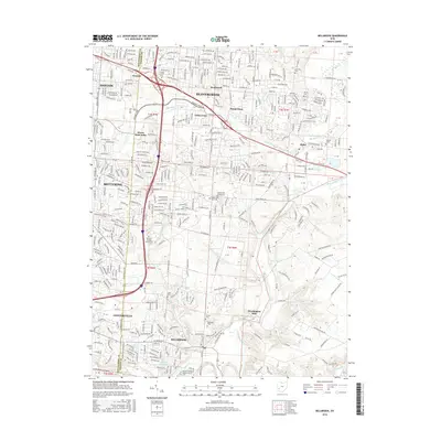
Editions of this 1965 Bellbrook Map
5 editions found
Historical Maps of Dayton Through Time
7 maps found