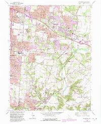
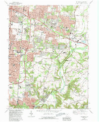
1965 Map of Bellbrook
USGS Topo · Published 1988About this map
Washington Mills and the historic settlement of Bellbrook anchor the southern portion of this mid-century landscape, where the Little Miami River flows through The Narrows State Scenic River Reserve. The map captures a period of significant suburban expansion in Beavercreek and eastern Kettering, with new housing developments appearing alongside established institutions like Marianist College and the Dayton State Hospital Farm.
Find a feature on this map
77 named features on this map. Tap any name to fly to it.
Don’t see what you’re looking for? This feature index may not catch every label — zoom into the map to look around manually.
Map Details
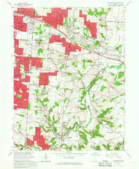
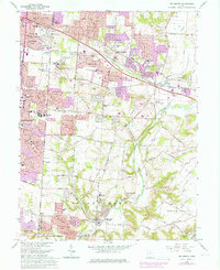
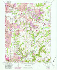
Editions of this 1965 Bellbrook Map
5 editions found
Other maps of this area

1904 · Springfield
USGS Topo · 1:62,500

1904 · Dayton
USGS Topo · 1:62,500

1906 · Dayton
USGS Topo · 1:62,500

1906 · Springfield
USGS Topo · 1:62,500

1913 · Waynesville
USGS Topo · 1:62,500

1915 · Waynesville
USGS Topo · 1:62,500

1917 · Xenia
USGS Topo · 1:62,500

1947 · Columbus
USGS Topo · 1:250,000

1953 · Cincinnati
USGS Topo · 1:250,000

1955 · New Burlington
USGS Topo · 1:24,000