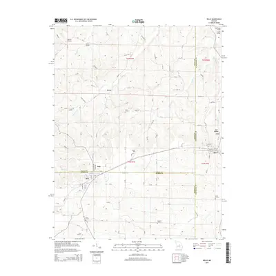
2015 Map of Belle
USGS Topo · Published 2015About this map
Belle and Bland anchor this mid-2010s survey, where the boundaries of Osage, Gasconade, and Maries counties converge. The landscape is defined by the transition between the rolling hills and a network of small watercourses like Buck Elk Cr and Klein Br. An interesting geographical story is told by the presence of both Bland and its predecessor, Old Bland, providing a clear record of the settlement's local shift. Genealogists and local historians will find several family and community burial grounds, including the Old Bland Cemetery, Francis Cemetery, and Heyer Cemetery. The map also documents named hollows such as Morton Hollow and Rockhouse Hollow in the northern sections, while Pepper Field sits as a central landmark amidst the township and range divisions. This topography illustrates the enduring rural character of these Missouri counties, showing the established road network that connects these small towns and scattered homesteads.
Find a feature on this map
102 named features on this map. Tap any name to fly to it.
Don’t see what you’re looking for? This feature index may not catch every label — zoom into the map to look around manually.
Map Details
Editions of this 2015 Belle Map
This is the sole edition of this map. No revisions or reprints were ever made.
Other maps of this area

1934 · Linn
USGS Topo · 1:48,000

1934 · Bland
USGS Topo · 1:62,500

1934 · Redbird
USGS Topo · 1:62,500

1937 · Bland
USGS Topo · 1:62,500

1937 · Vienna
USGS Topo · 1:62,500

1938 · Redbird
USGS Topo · 1:62,500

1938 · Vienna
USGS Topo · 1:48,000

1942 · Linn
USGS Topo · 1:62,500

1945 · Linn
USGS Topo · 1:62,500

1949 · Saint Louis
USGS Topo · 1:250,000