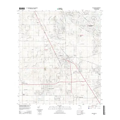
2015 Map of Belleview
USGS Topo · Published 2015About this map
Santos and Silver Springs Shores anchor the northern landscape of this central Florida region, where the Florida National Scenic Trail cuts through a grid of developing residential corridors and rural tracts. The map records the intersection of local aviation and mid-century growth patterns, evidenced by private airstrips like Leeward Air Ranch Airport, Monroe Airpark, and Norton Airport. Southward, the established communities of Belleview, Belleview Heights, and Summerfield are punctuated by several historic burial grounds, including Burrell Cem, Olivet Cem, and Mount Olive Cem. The eastern edge is defined by the significant shoreline of Lake Weir, while smaller water bodies like Lake Sparkle and Spring Lake are integrated into the planned neighborhoods of the northeast. This 2015 data reflects the complex layering of old crossroads such as Danks Corner and Monroes Corner beneath modern suburban expansion.
Find a feature on this map
135 named features on this map. Tap any name to fly to it.
Don’t see what you’re looking for? This feature index may not catch every label — zoom into the map to look around manually.
Map Details
Editions of this 2015 Belleview Map
This is the sole edition of this map. No revisions or reprints were ever made.
Other maps of this area

1893 · Panasoffkee
USGS Topo · 1:62,500

1895 · Panasoffkee
USGS Topo · 1:62,500

1895 · Ocala
USGS Topo · 1:62,500

1954 · Gainesville
USGS Topo · 1:250,000

1954 · Daytona Beach
USGS Topo · 1:250,000

1955 · Plant City
USGS Topo · 1:250,000

1955 · Orlando
USGS Topo · 1:250,000

1957 · Orlando
USGS Topo · 1:250,000

1958 · Orlando
USGS Topo · 1:250,000

1958 · Daytona Beach
USGS Topo · 1:250,000