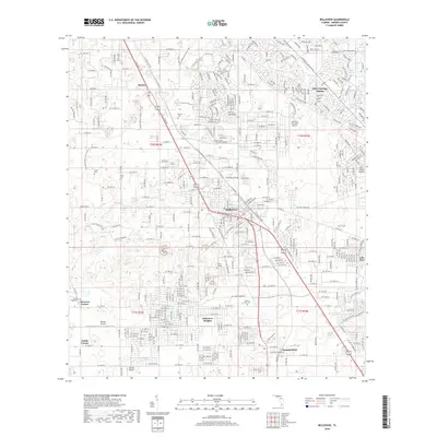
2018 Map of Belleview
USGS Topo · Published 2018About this map
Belleview serves as a central hub in this Marion County landscape, showing a complex network of residential development and community landmarks just before the close of the 2010s. The area is marked by a significant concentration of local history, preserved through several burial grounds including Mount Olive Cem, Burrell Cem, and Fisher Cem. Education and transportation are key features, with Taylor College situated near the town center and a variety of specialized aviation sites like the Leeward Air Ranch Airport and Monroe Airpark dotting the outskirts.
Find a feature on this map
210 named features on this map. Tap any name to fly to it.
Don’t see what you’re looking for? This feature index may not catch every label — zoom into the map to look around manually.
Map Details
Editions of this 2018 Belleview Map
This is the sole edition of this map. No revisions or reprints were ever made.
Other maps of this area

1893 · Panasoffkee
USGS Topo · 1:62,500

1895 · Panasoffkee
USGS Topo · 1:62,500

1895 · Ocala
USGS Topo · 1:62,500

1954 · Gainesville
USGS Topo · 1:250,000

1954 · Daytona Beach
USGS Topo · 1:250,000

1955 · Plant City
USGS Topo · 1:250,000

1955 · Orlando
USGS Topo · 1:250,000

1957 · Orlando
USGS Topo · 1:250,000

1958 · Orlando
USGS Topo · 1:250,000

1958 · Daytona Beach
USGS Topo · 1:250,000