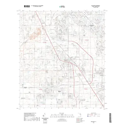
2021 Map of Belleview
USGS Topo · Published 2021About this map
Belleview serves as the central hub for this portion of Marion County, where the convergence of major transit routes and residential expansion is evident. The landscape is dotted with aviation history, featuring several local airstrips including Leeward Air Ranch Airport, Monroe Airpark, and Back Achers Airport. These sites, along with the nearby Taylor College, illustrate the community's mid-to-late 20th-century development. To the south and west, smaller crossroads like Monroes Corner and Danks Corner represent the more traditional rural structure of the area.
Find a feature on this map
204 named features on this map. Tap any name to fly to it.
Don’t see what you’re looking for? This feature index may not catch every label — zoom into the map to look around manually.
Map Details
Editions of this 2021 Belleview Map
This is the sole edition of this map. No revisions or reprints were ever made.
Other maps of this area

1893 · Panasoffkee
USGS Topo · 1:62,500

1895 · Panasoffkee
USGS Topo · 1:62,500

1895 · Ocala
USGS Topo · 1:62,500

1954 · Gainesville
USGS Topo · 1:250,000

1954 · Daytona Beach
USGS Topo · 1:250,000

1955 · Plant City
USGS Topo · 1:250,000

1955 · Orlando
USGS Topo · 1:250,000

1957 · Orlando
USGS Topo · 1:250,000

1958 · Orlando
USGS Topo · 1:250,000

1958 · Daytona Beach
USGS Topo · 1:250,000