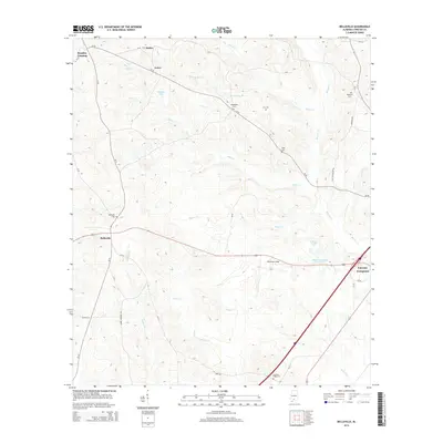
2014 Map of Belleville
USGS Topo · Published 2014About this map
Belleville and the surrounding Conecuh County countryside appear in this survey as a landscape defined by small settlements and winding watercourses. The town of Belleville sits at a historic crossroads, while the outskirts are dotted with established rural landmarks such as Middleton Field and several family-named burial sites including Arkadelphia Cem, Ivey Cem, and Riley Cem. The eastern portion of the area is heavily influenced by the drainage patterns of Murder Cr, which winds through the terrain alongside numerous other creeks like Otter Cr and Hunter Cr. These waterways, combined with features like Baggett Pond and Stowens Pond, illustrate the drainage network that supported the local agriculture and timber industries. Further north, the small communities of Loree and Stokes remain connected by the rural road network, while Brantley Crossing marks the northwestern corner of this territory.
Find a feature on this map
41 named features on this map. Tap any name to fly to it.
Don’t see what you’re looking for? This feature index may not catch every label — zoom into the map to look around manually.
Map Details
Editions of this 2014 Belleville Map
This is the sole edition of this map. No revisions or reprints were ever made.
Other maps of this area

1953 · Andalusia
USGS Topo · 1:250,000

1957 · Andalusia
USGS Topo · 1:250,000

1971 · Lyeffion
USGS Topo · 1:24,000

1971 · Range
USGS Topo · 1:24,000

1971 · Castleberry
USGS Topo · 1:24,000

1971 · Belleville
USGS Topo · 1:24,000

1971 · China
USGS Topo · 1:24,000

1971 · Burnt Corn
USGS Topo · 1:24,000

1971 · Repton
USGS Topo · 1:24,000

1982 · Evergreen
USGS Topo · 1:24,000