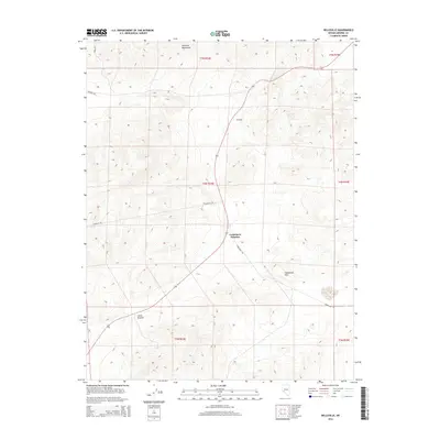
2014 Map of Belleville
USGS Topo · Published 2014About this map
Belleville sits at the heart of this Mineral County landscape, positioned between the striking elevation of the Excelsior Mountains to the north and the Candelaria Hills to the south. This 2014 survey captures a high-desert environment defined by sparse settlement and significant geological relief. At Candelaria Junction, the intersection of Douglas Rd and Candelaria Rd marks a vital crossroads for the region's limited transportation network. Water is a critical and rare resource here, represented by the isolated Belleville Spring located northeast of the main settlement area. The terrain transitions toward Little Summit in the southwest, illustrating the basin-and-range topography characteristic of this part of Nevada. For researchers, the map provides a precise record of late-modern land divisions across several townships, including t4n r34e, while documenting the enduring infrastructure of a storied mining district.
Find a feature on this map
14 named features on this map. Tap any name to fly to it.
Don’t see what you’re looking for? This feature index may not catch every label — zoom into the map to look around manually.
Map Details
Editions of this 2014 Belleville Map
This is the sole edition of this map. No revisions or reprints were ever made.
Other maps of this area

1909 · Hawthorne
USGS Topo · 1:250,000

1911 · Hawthorne
USGS Topo · 1:250,000

1915 · Hawthorne
USGS Topo · 1:250,000

1948 · Walker Lake
USGS Topo · 1:250,000

1957 · Walker Lake
USGS Topo · 1:250,000

1962 · Walker Lake
USGS Topo · 1:250,000

1964 · Walker Lake
USGS Topo · 1:250,000
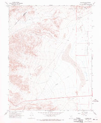
1967 · Columbus
USGS Topo · 1:24,000
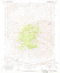
1967 · Miller Mountain
USGS Topo · 1:24,000

1967 · Moho Mountain
USGS Topo · 1:24,000