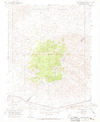
1967 Map of Miller Mountain
USGS Topo · Published 1969About this map
The high-desert terrain of the Candelaria Hills and the prominent peak of Miller Mountain dominate this late 1960s survey along the boundary of Mineral and Esmeralda counties. This is a landscape defined by isolated mineral extraction and technical infrastructure, where mining claims like the Maxfield Mine and Kelly and Clark Mine are connected by a web of Jeep Trails cutting through the arid topography. At the southern edge of the sheet, the presence of an Aqueduct and a Water Tank underscores the critical importance of water management in this dry environment. The southern boundary is further defined by Pinchot Creek, which runs parallel to a designated light-duty road, providing one of the few points of access to the numerous prospects and pits scattered throughout the region.
Find a feature on this map
16 named features on this map. Tap any name to fly to it.
Don’t see what you’re looking for? This feature index may not catch every label — zoom into the map to look around manually.
Map Details
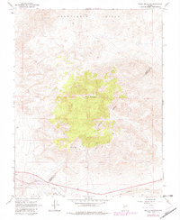
Editions of this 1967 Miller Mountain Map
2 editions found
Other maps of this area

1909 · Hawthorne
USGS Topo · 1:250,000

1911 · Hawthorne
USGS Topo · 1:250,000

1915 · Hawthorne
USGS Topo · 1:250,000

1917 · White Mountain
USGS Topo · 1:125,000

1947 · Mariposa
USGS Topo · 1:250,000

1948 · Walker Lake
USGS Topo · 1:250,000

1948 · Mariposa
USGS Topo · 1:250,000

1957 · Walker Lake
USGS Topo · 1:250,000

1957 · Mariposa
USGS Topo · 1:250,000

1962 · Walker Lake
USGS Topo · 1:250,000