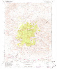
1967 Map of Miller Mountain
USGS Topo · Published 1982About this map
Miller Mountain dominates this high-altitude landscape along the Mineral Co Esmeralda Co line, where the topography of the Candelaria Hills gives way to a network of mining activity. This 1967 survey, photorevised in the early 1980s, documents the industrial footprint of the Silver Peak and Candelaria districts through numerous Mines and Prospects. Small-scale operations like the Maxfield Mine and the Kelly and Clark Mine are etched into the terrain, connected by a web of Jeep Trails that traverse the high ridges. To the south, an Aqueduct and a Water Tank indicate the vital infrastructure needed to support these remote mining claims, while Pinchot Creek provides a rare natural watercourse in this arid mining corridor.
Find a feature on this map
15 named features on this map. Tap any name to fly to it.
Don’t see what you’re looking for? This feature index may not catch every label — zoom into the map to look around manually.
Map Details
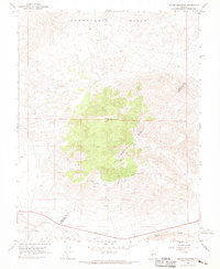
Editions of this 1967 Miller Mountain Map
2 editions found
Other maps of this area

1909 · Hawthorne
USGS Topo · 1:250,000

1911 · Hawthorne
USGS Topo · 1:250,000

1915 · Hawthorne
USGS Topo · 1:250,000

1917 · White Mountain
USGS Topo · 1:125,000

1947 · Mariposa
USGS Topo · 1:250,000

1948 · Walker Lake
USGS Topo · 1:250,000

1948 · Mariposa
USGS Topo · 1:250,000

1957 · Walker Lake
USGS Topo · 1:250,000

1957 · Mariposa
USGS Topo · 1:250,000

1962 · Walker Lake
USGS Topo · 1:250,000