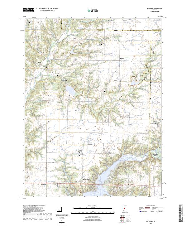
2022 Map of Bellmore
USGS Topo · Published 2022About this map
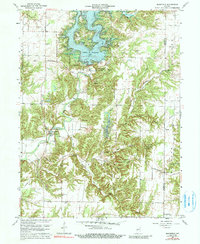
Cecil M Harden Lake dominates the southern portion of this region, where the waters of Big Raccoon Creek are impounded within the borders of Parke and Putnam counties. The settlement of Portland Mills sits at the edge of this reservoir, while the village of Hollandsburg and the community of Bellmore anchor the southwestern corner. The landscape is dotted with numerous small family and community burial grounds, such as Seybold Cem, Bruin Cem, and Philadelphia Cem, providing significant geographic markers for genealogical research in this part of Indiana.
Find a feature on this map
113 named features on this map. Tap any name to fly to it.
Don’t see what you’re looking for? This feature index may not catch every label — zoom into the map to look around manually.
Map Details
Editions of this 2022 Bellmore Map
This is the sole edition of this map. No revisions or reprints were ever made.
Historical Maps of Milligan Through Time
8 maps found