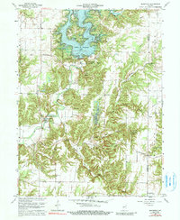
1963 Map of Mansfield
USGS Topo · Published 1991About this map
Cecil M Harden Lake dominates the northern landscape of this Parke County region, created as a significant water management feature on Big Raccoon Creek. The surrounding terrain is deeply carved by numerous tributaries including Rocky Fork and Straight Line Branch, creating a complex network of ridges and hollows. The settlement of Mansfield serves as a local focal point, home to the Mansfield Covered Bridge, which stands as a functional piece of infrastructure over the creek. Genealogy researchers will find several family and community landmarks, such as Otterbein Ch and Blake Cem, situated along the winding paths of New Discovery Road. The presence of the USGS Observation Well and a Gaging Station reflects the era's focus on hydrologic monitoring and conservation within the Raccoon Lake State Recreation Area.
Find a feature on this map
39 named features on this map. Tap any name to fly to it.
Don’t see what you’re looking for? This feature index may not catch every label — zoom into the map to look around manually.
Map Details
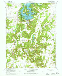
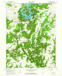
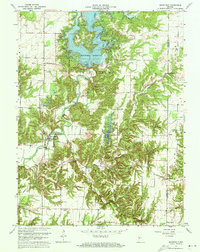
Editions of this 1963 Mansfield Map
4 editions found
Other maps of this area

1950 · Brazil East
USGS Topo · 1:24,000

1950 · Brazil West
USGS Topo · 1:24,000

1951 · Clinton Falls
USGS Topo · 1:24,000

1951 · Mansfield
USGS Topo · 1:24,000

1952 · Catlin
USGS Topo · 1:24,000

1952 · Reelsville
USGS Topo · 1:24,000

1953 · Indianapolis
USGS Topo · 1:250,000

1955 · Rockville
USGS Topo · 1:24,000

1955 · Russellville
USGS Topo · 1:24,000

1956 · Indianapolis
USGS Topo · 1:250,000