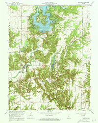
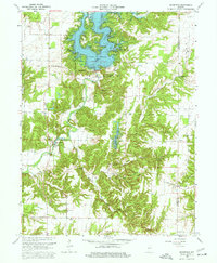
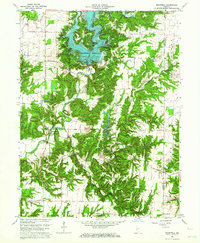
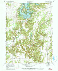
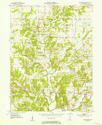
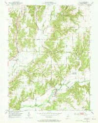
1963 Map of Mansfield
USGS Topo · Published 1977About this map
The Mansfield Reservoir and Raccoon Lake State Recreation Area dominate this landscape where the Big Raccoon Creek valley meets the wooded hills of Parke County. The map documents a period of transition, showing the newly created reservoir alongside historical transportation features like the Mansfield Covered Bridge and the Rocky Fork Covered Bridge. These engineering landmarks contrast with the modern infrastructure of a pipeline and a USGS Observation Well near the dam.
Find a feature on this map
37 named features on this map. Tap any name to fly to it.
Don’t see what you’re looking for? This feature index may not catch every label — zoom into the map to look around manually.
Map Details
Editions of this 1963 Mansfield Map
4 editions found
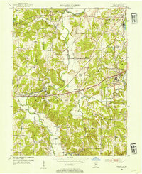
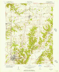
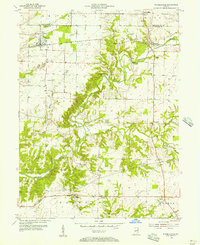
Other maps of this area
1950 · Brazil East
USGS Topo · 1:24,000
1950 · Brazil West
USGS Topo · 1:24,000
1951 · Clinton Falls
USGS Topo · 1:24,000
1951 · Mansfield
USGS Topo · 1:24,000
1952 · Catlin
USGS Topo · 1:24,000
1952 · Reelsville
USGS Topo · 1:24,000

1953 · Indianapolis
USGS Topo · 1:250,000
1955 · Rockville
USGS Topo · 1:24,000
1955 · Russellville
USGS Topo · 1:24,000

1956 · Indianapolis
USGS Topo · 1:250,000