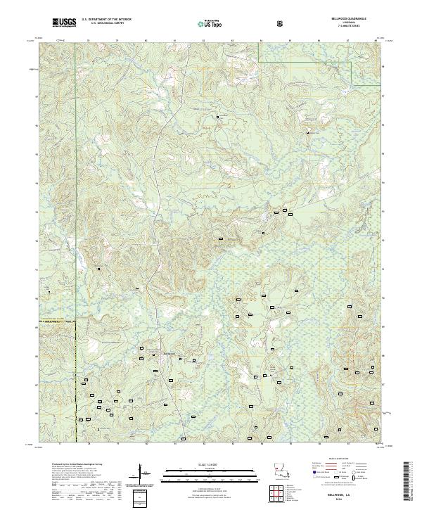
2024 Map of Bellwood
USGS Topo · Published 2024About this map
Bellwood sits at the intersection of a complex network of parish roads and forest routes within the Kisatchie National Forest. This Louisiana landscape is defined by its numerous family-named cemeteries and rural churches, including the Bellwood Baptist Church Cem and Friendship Cemetery. The terrain is shaped by the winding paths of Kisatchie Bayou and Bayou Santabarb, which cut through the timberland. Along the eastern edge, the topography shifts into low-lying wetlands such as Cunningham Brake and Gibbs Slough near Provencal Lake. The abundance of small burial grounds like Jackson Cem and Roberts Cem suggests a long history of kinship-based settlements and family landholdings that have persisted within the national forest boundaries through the 21st century.
Find a feature on this map
72 named features on this map. Tap any name to fly to it.
Don’t see what you’re looking for? This feature index may not catch every label — zoom into the map to look around manually.
Map Details
Editions of this 2024 Bellwood Map
This is the sole edition of this map. No revisions or reprints were ever made.
Other maps of this area

1935 · Hagewood
USGS Topo · 1:31,680

1937 · Bermuda
USGS Topo · 1:31,680

1937 · Bellwood
USGS Topo · 1:31,680

1937 · Cypress
USGS Topo · 1:31,680

1942 · Many
USGS Topo · 1:62,500

1942 · Florien
USGS Topo · 1:62,500

1942 · Kisatchie
USGS Topo · 1:62,500

1943 · Many
USGS Topo · 1:62,500

1943 · Kisatchie
USGS Topo · 1:62,500

1943 · Provencal
USGS Topo · 1:62,500