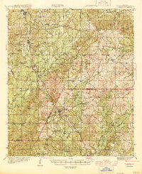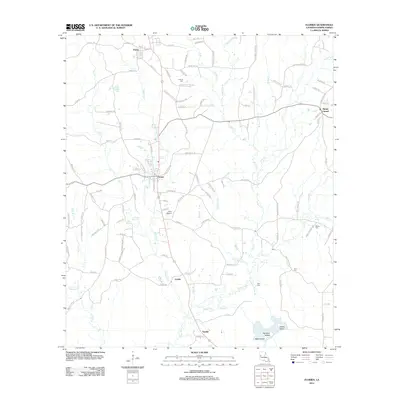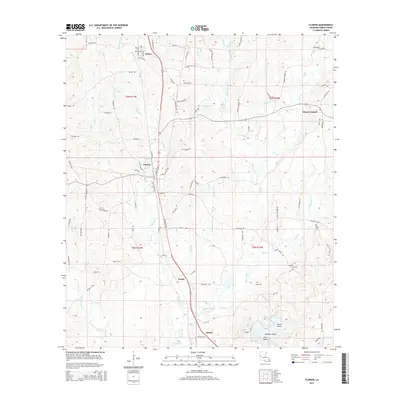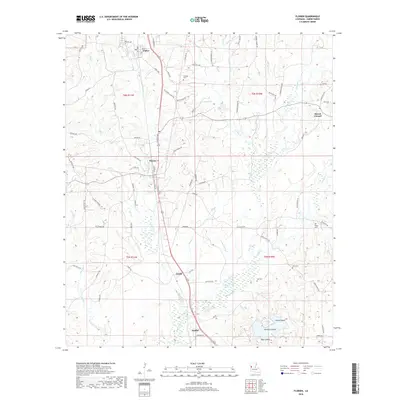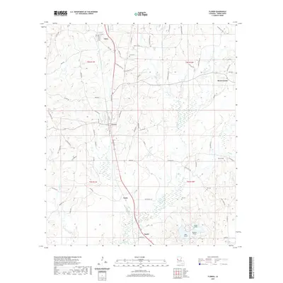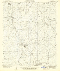
1942 Map of Florien
USGS Topo · Published 1942About this map
The Kansas City Southern railroad corridor serves as the primary artery through this section of the Louisiana pinewoods, connecting the lumber-oriented settlements of Fisher, Florien, and Hornbeck. Recorded just as the United States entered the second World War, the map documents a rural landscape defined by an extensive network of small community centers and country parishes. Numerous houses of worship, including Century Ch, Oak Grove Ch, and Pine Grove Ch, are scattered throughout the terrain, reflecting the social fabric of these logging and farming communities. In the eastern portion of the sheet, the legacy of the timber industry is visible through an old logging railroad grade and the presence of the La Nana Grant. The transition from Sabine Parish to Vernon Parish is marked near the southern settlements of Barham and Anacoco, where the land begins its descent toward the Anacoco Creek drainage system.
Find a feature on this map
75 named features on this map. Tap any name to fly to it.
Don’t see what you’re looking for? This feature index may not catch every label — zoom into the map to look around manually.
Map Details
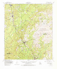
Editions of this 1942 Florien Map
This is the sole edition of this map. No revisions or reprints were ever made.
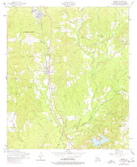
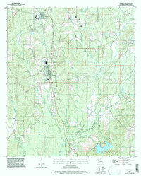
Historical Maps of Anacoco Through Time
10 maps found