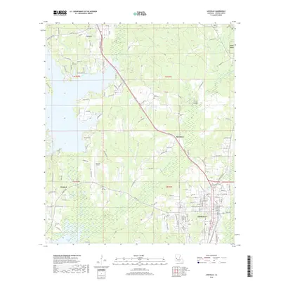
1943 Map of Leesville
USGS Topo · Published 1943About this map
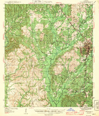
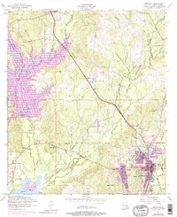
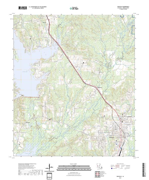
Leesville serves as the central hub of this wartime survey, situated just north of the Newllano settlement and the Louisiana Base Line. The landscape is defined by the dense network of waterways feeding into Bayou Anacoco and Anacoco Creek, where an Old Logging Railroad and various Old Grades indicate the heavy timber industry that shaped Vernon Parish. Further south, the map details the community of Pickering near Pickering Sch and Cooper Cem.
Find a feature on this map
49 named features on this map. Tap any name to fly to it.
Don’t see what you’re looking for? This feature index may not catch every label — zoom into the map to look around manually.
Map Details
Editions of this 1943 Leesville Map
This is the sole edition of this map. No revisions or reprints were ever made.
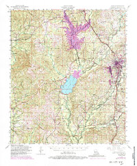
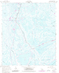
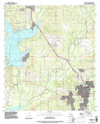
Historical Maps of Leesville Through Time
14 maps found
1941 Leesville
Vernon Parish, LA
1943 Leesville
Vernon Parish, LA
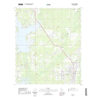
1946 Leesville
Vernon Parish, LA
1948 Leesville
Vernon Parish, LA
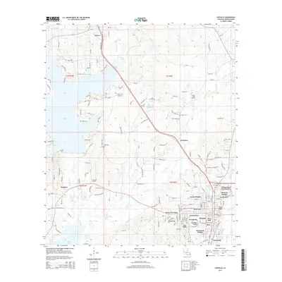
1954 Leesville
Vernon Parish, LA
1954 Leesville
Vernon Parish, LA
1957 Leesville
Vernon Parish, LA

1986 Leesville
Vernon Parish, LA
1994 Leesville
Vernon Parish, LA
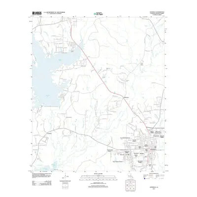
2012 Leesville
Vernon Parish, LA
2015 Leesville
Vernon Parish, LA
2018 Leesville
Vernon Parish, LA
2020 Leesville
Vernon Parish, LA
2024 Leesville
Vernon Parish, LA