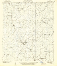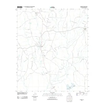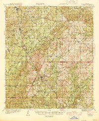
1944 Map of Florien
USGS Topo · Published 1944About this map
Kansas City Southern rail lines dictate the settlement pattern of this rural corridor along the Sabine Parish and Vernon Parish border. In the north, the lumber town of Fisher and the agricultural hub of Florien serve as primary anchors, with the latter featuring the Florien Agricultural Sch. The landscape is defined by a dense network of watercourses, including the westward-flowing Bayou Toro and the southern Anacoco Bayou, which shaped the placement of early homesteads and community centers. Sparse but deliberate development is evident through numerous rural congregations such as Lewing Chapel, Oak Grove Ch, and Pratts Chapel. The survey captures the region just as wartime mapping efforts intensified, documenting a timber and farming economy connected to the world by the iron rail and a nascent road system like Pond Road.
Find a feature on this map
61 named features on this map. Tap any name to fly to it.
Don’t see what you’re looking for? This feature index may not catch every label — zoom into the map to look around manually.
Map Details
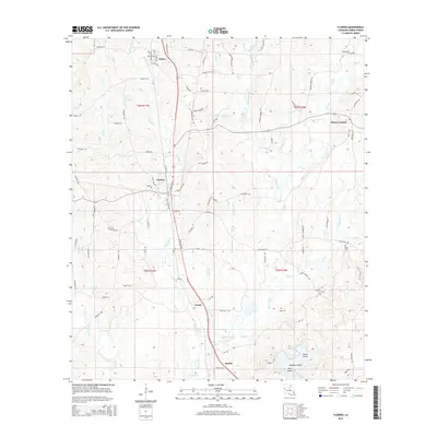
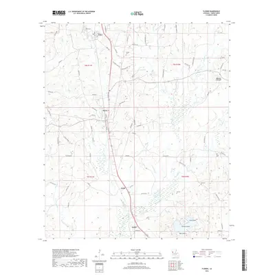
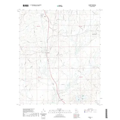
Editions of this 1944 Florien Map
This is the sole edition of this map. No revisions or reprints were ever made.
Historical Maps of Anacoco Through Time
10 maps found