Loading...
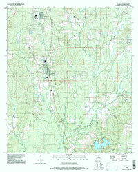
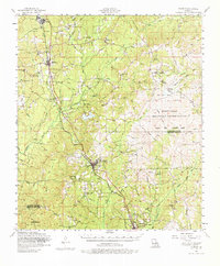
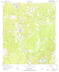
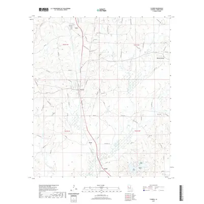
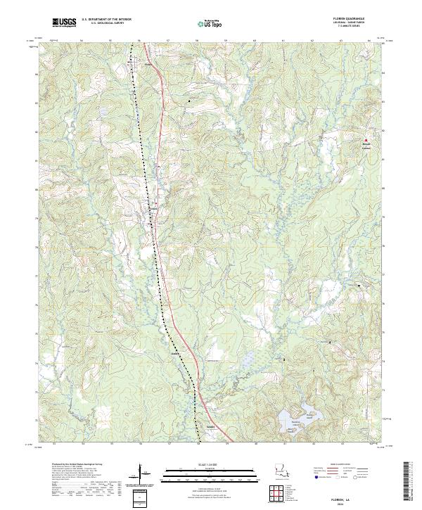
Loading map...1997 Map of Florien
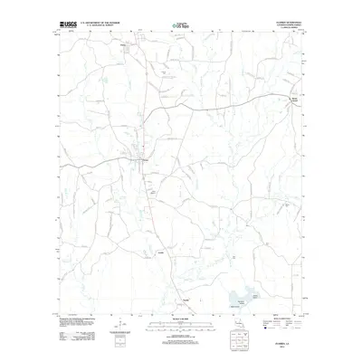
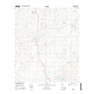
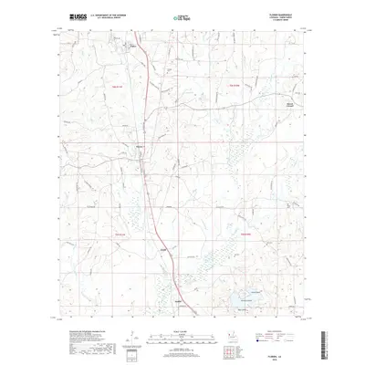
USGS Topo · Published 1997About this map
Florien and the neighboring sawmill town of Fisher anchor this detailed study of Sabine Parish, which captures the region's transition from a railway-dependent timber hub to a landscape crisscrossed by modern infrastructure. The map documents an extensive network of family and community landmarks, including Sibley Cem, Lewing Cem, and Self Cem, reflecting the deep-rooted settlement patterns of the Louisiana uplands.
Find a feature on this map
33 named features on this map. Tap any name to fly to it.
Don’t see what you’re looking for? This feature index may not catch every label — zoom into the map to look around manually.
Map Details
Date Portrayed1997
Date Published1997
PublisherU.S. Geological Survey
Map TypeTopographic
Scale1:24,000
Physical Dimensions21.6 x 26.9 inches
Editions of this 1997 Florien Map
This is the sole edition of this map. No revisions or reprints were ever made.
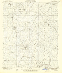
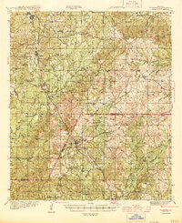
Historical Maps of Florien Through Time
10 maps found
Featured Locations
Source Details
SourceU.S. Geological Survey
CopyrightPublic Domain