
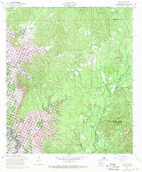
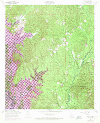
1954 Map of Toro
USGS Topo · Published 1958About this map
Bayou Toro defines the eastern boundary of this mid-century landscape, where the rural communities of Louisiana and Texas meet along the Sabine Parish and Vernon Parish line. The settlement of Toro and the nearby Pisgah High School serve as local hubs in a region shaped by timber and water. A network of country churches, including Little Flock Church, Clear Water Church, and Victoria Church, reveals the scattered nature of community life during this era.
Find a feature on this map
30 named features on this map. Tap any name to fly to it.
Don’t see what you’re looking for? This feature index may not catch every label — zoom into the map to look around manually.
Map Details
Editions of this 1954 Toro Map
3 editions found
Other maps of this area

1941 · Leesville
USGS Topo · 1:62,500

1942 · Florien
USGS Topo · 1:62,500

1943 · Leesville
USGS Topo · 1:62,500

1944 · Negreet
USGS Topo · 1:62,500

1944 · Wiergate
USGS Topo · 1:62,500

1944 · Florien
USGS Topo · 1:62,500

1946 · Leesville
USGS Topo · 1:62,500

1948 · Leesville
USGS Topo · 1:62,500

1948 · Wiergate
USGS Topo · 1:62,500

1953 · Alexandria
USGS Topo · 1:250,000